Possible Brief Tornado Friday Near Crown Point
A late night Friday tornado threat became a reality in the region around 10 PM when The National Weather Service (NWS) issued a Tornado Warning in southern Lake County.
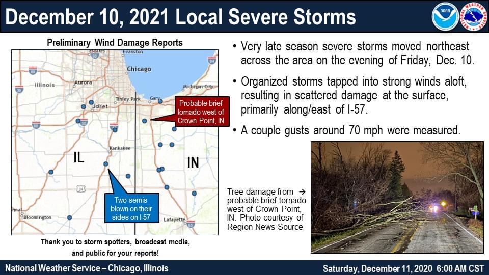
The warning was prompted after NWS saw an increasing low level convergence / rotation from the O’Hare Radar terminal site. The storm cell passed through Beecher then northern Cedar Lake – Crown Point area moving at 55 MPH northeast. A significant wind report of 73 mph was also reported in the area.
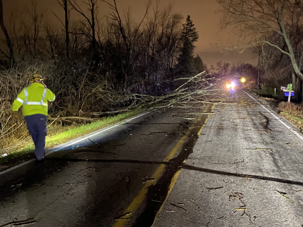
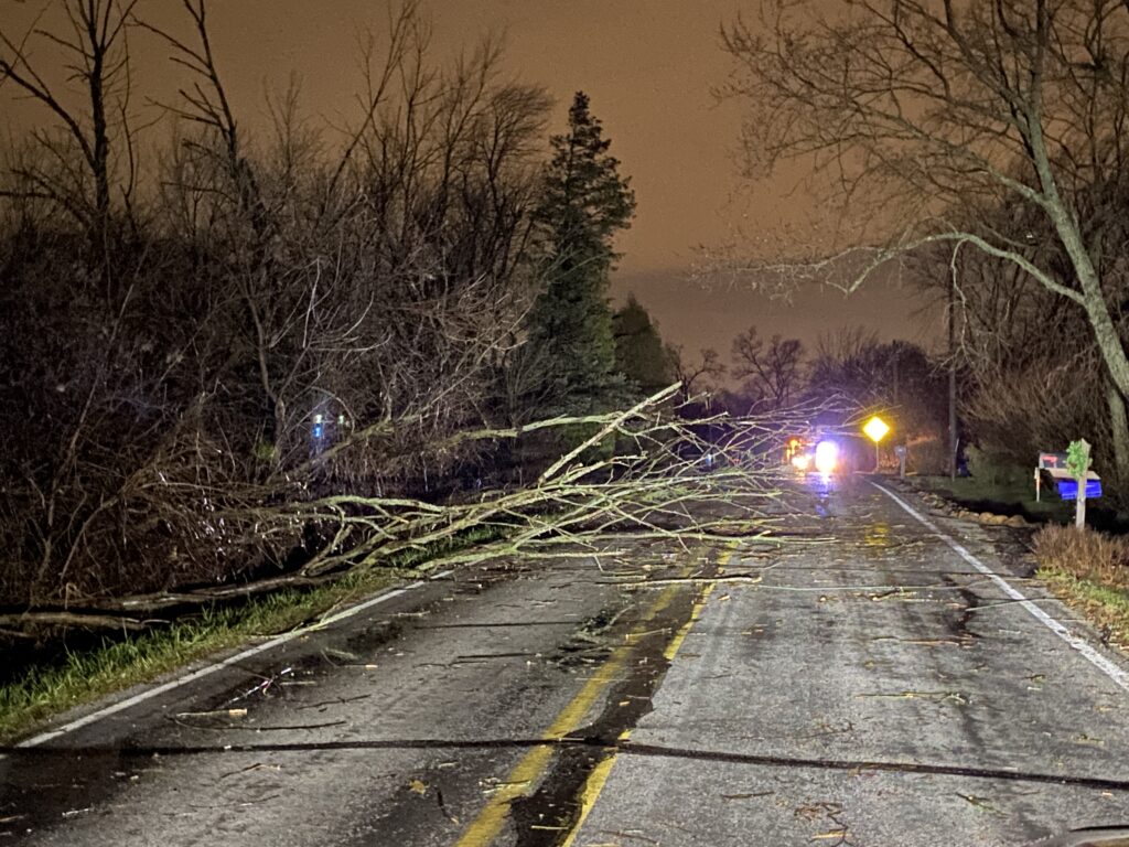
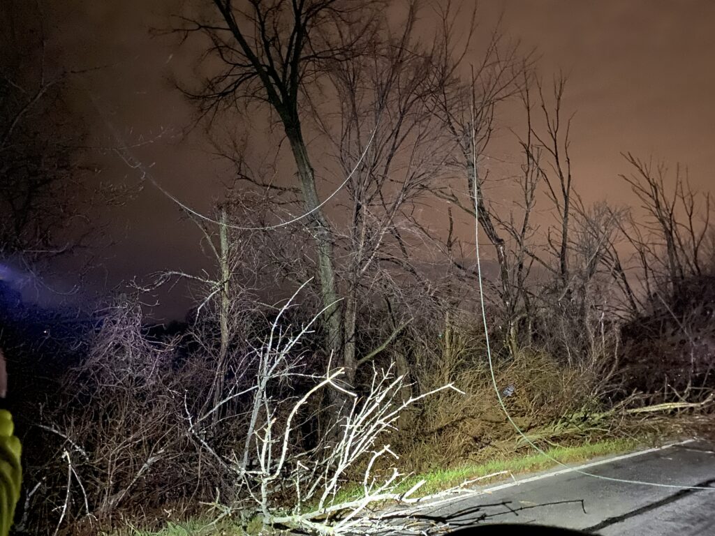
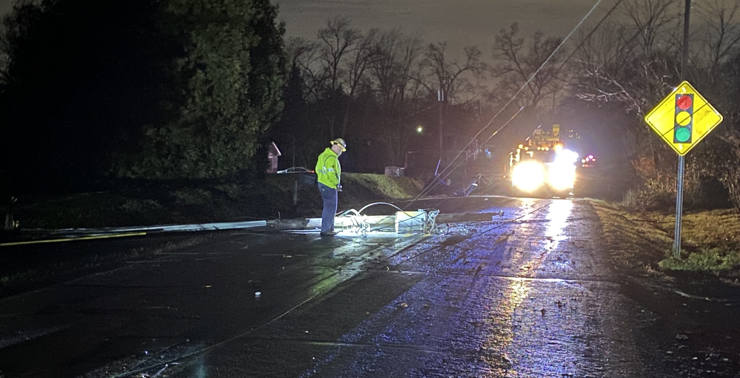
RNS found damage near 109th & Fathke Road in Crown Point which included a pole & transformer across the road along with 7 trees observed down. A trampoline was also seen entangled in the wires where the pole was down. This damage was reported to the NWS Chat in which they added to the report of a possible tornado based off of radar debris signatures in the damage area. NWS will determine tomorrow if a crew will be sent out to survey the damage to see if a tornado did touchdown.
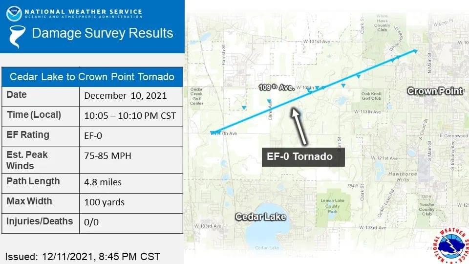
UPDATE – National Weather Service confirmed Saturday an EF-0 Tornado touched down In unincorporated Cedar Lake to the North end of Crown Point between 10:05 and 10:10 Friday night. The tornado was on the ground for 4.8 miles and had a maximum width of 100 yards with winds 75-85 mph.
This EF-0 was the first recorded December tornado in and around the Chicago metro since consistent records began in 1950, according to NWS. It was also the first December tornado in NWS Chicago’s warning area since 12/4/73 (Iroquois Co) & just the 4th on record since 1950.
NIPSCO is reporting a few thousand customers without power across Lake & Porter County. Storm crews are working to repair downed wires and trees throughout the night Friday.

