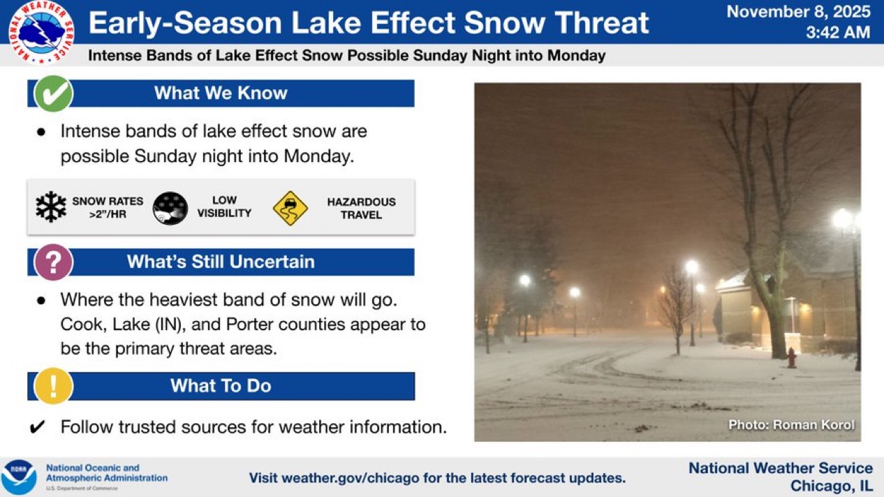
The Dreaded “S” Word Making Its First Appearance
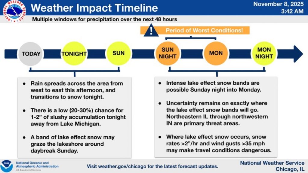
Rain will move across the Region from west to east this afternoon before changing over to snow tonight, starting northwest and spreading southeast. With warm ground temperatures, most of it may melt on contact but there’s a 20–30% chance for 1–2 inches of slushy accumulation on grass or untreated roads overnight.
By Sunday morning, a narrow band of lake effect snow could develop near the lakeshore before shifting east toward Michigan City later in the day.
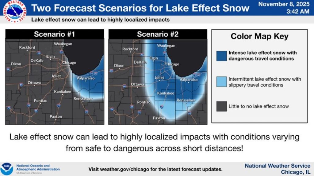
The main concern is for Sunday night into Monday, when intense lake effect snow bands could set up somewhere around the southern half of Lake Michigan. The combination of very cold air moving over warm lake waters will create strong instability, potentially resulting in heavy snow rates and dangerous travel wherever the bands hit.
⚠️ Winter Storm Watches are in effect for:
• Illinois: Cook County
• Indiana: Lake, Porter, LaPorte, Starke, Marshall & St. Joseph Counties
• Michigan: Berrien County
If you’ll be traveling anywhere around the southern bowl of Lake Michigan Sunday through Monday, stay alert and check for updates frequently. Lake effect snow can cause conditions to change from clear to whiteout within just a few miles!