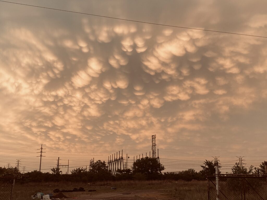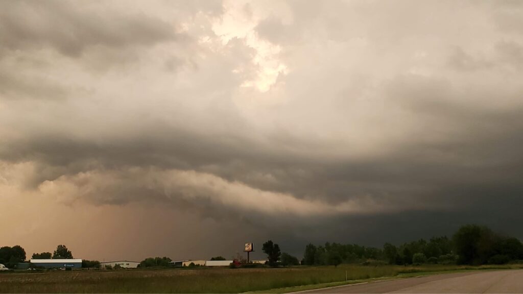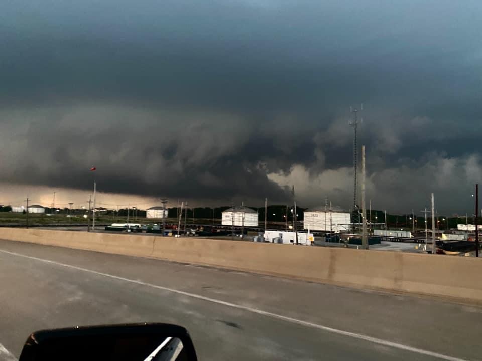
Supercell Storm Hits Lake & Porter County
Supercell Storm Info From Monday –
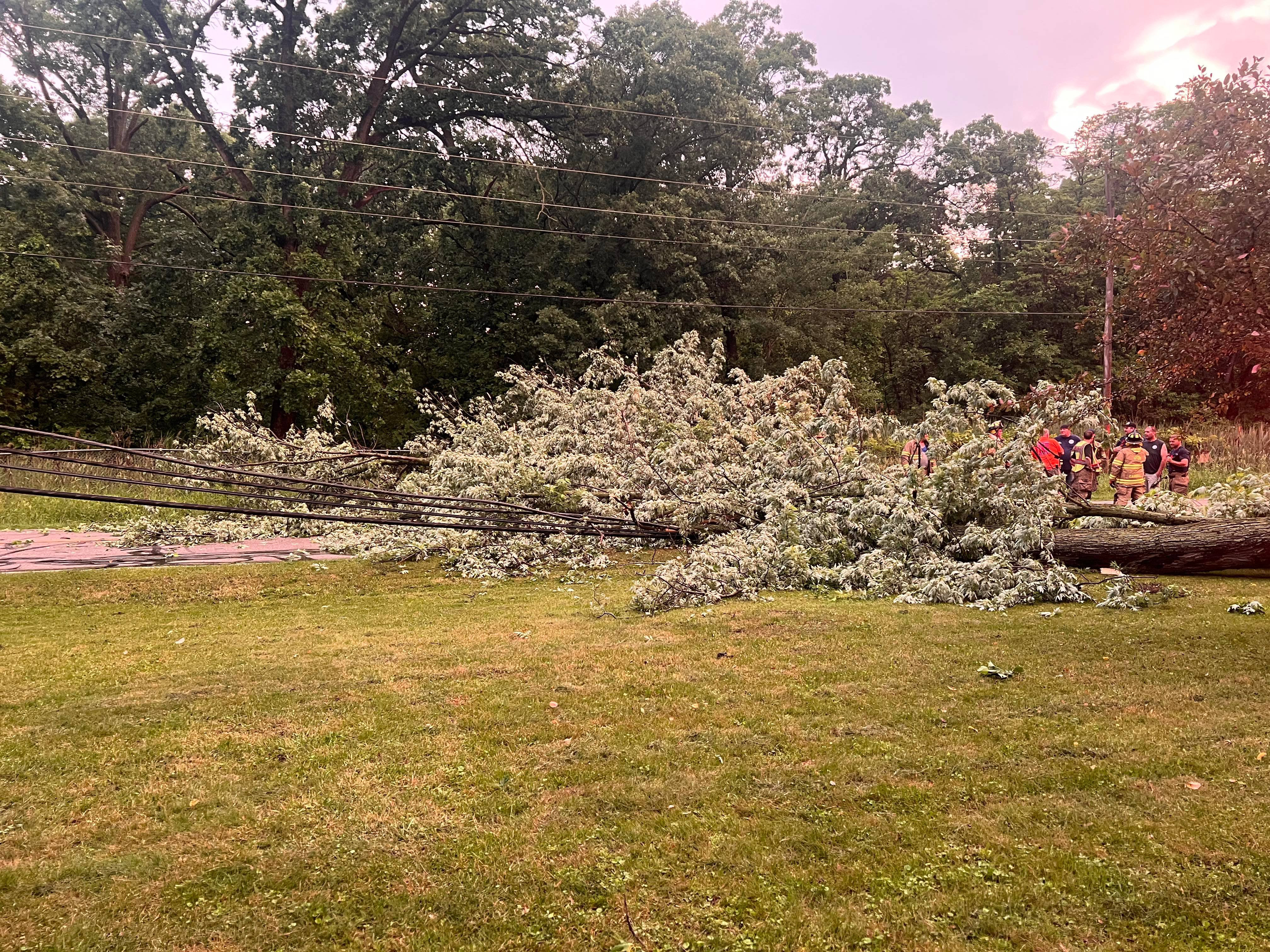
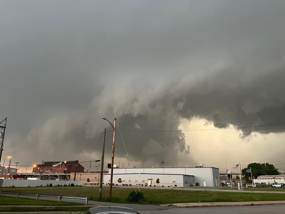
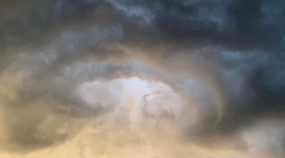
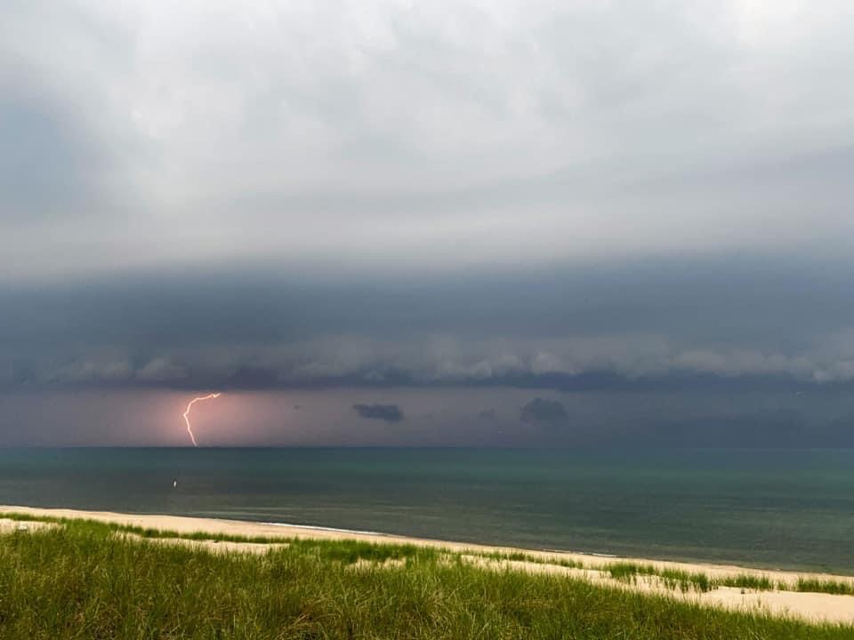
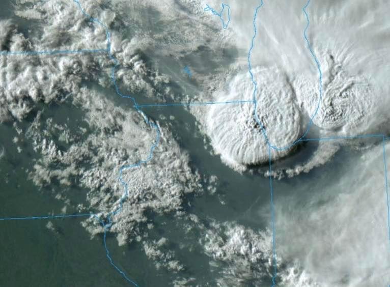
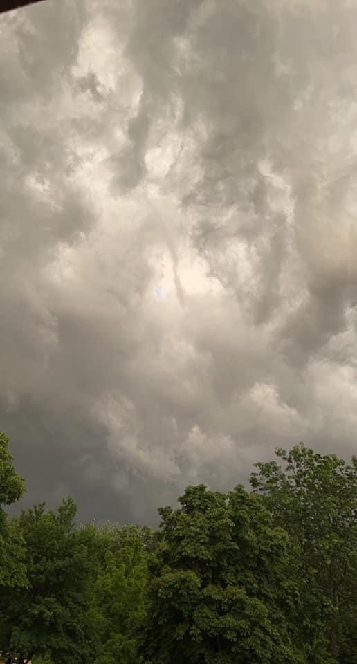
Locally here in the region we are seeing only tree damage that is sporadic across North Hammond, Gary, Lake Station, and Hobart thankfully. The storm tops pushed above 61,000 feet as seen on satellite imagery above. A wind gust of 59 MPH was reported at Gary Airport. We were also shown a short video out of Hobart that shows a small rope funnel that dissipated quickly. NWS has not confirmed any touchdowns as of Tuesday morning.
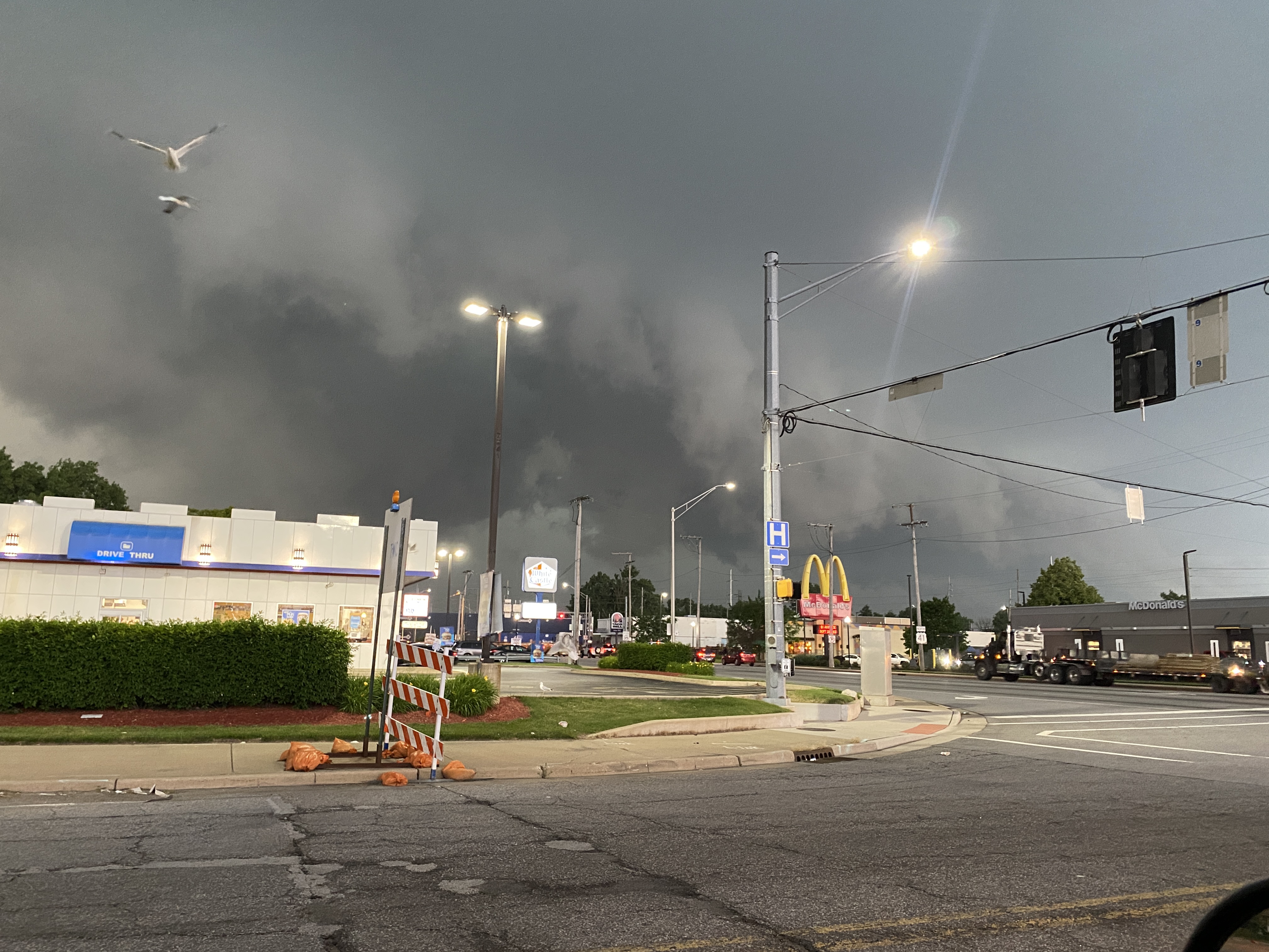
Currently 27,000 NIPSCO customers are without power. The worst areas appear to be Gary, Goshen, and Angola. In Northern Illinois where the storm fired up quickly reported within a hour 87,000 ComEd customers affected.
Across the state line reports of a possible rain wrapped funnel was spotted in the Schaumburg area and another notable location was in Roselle where a few planes were flipped at an airport. A non thunderstorm wind gust of 84 MPH was measured at O’Hare. A parking garage wall was also damaged in Lincoln Park area of Chicago. The Brookfield Zoo will open at 1:00 PM today as they received significant damage to the grounds due to last night’s storm. The zoo said they will be clearing downed trees and pathways and assessing the extensive damage this morning.
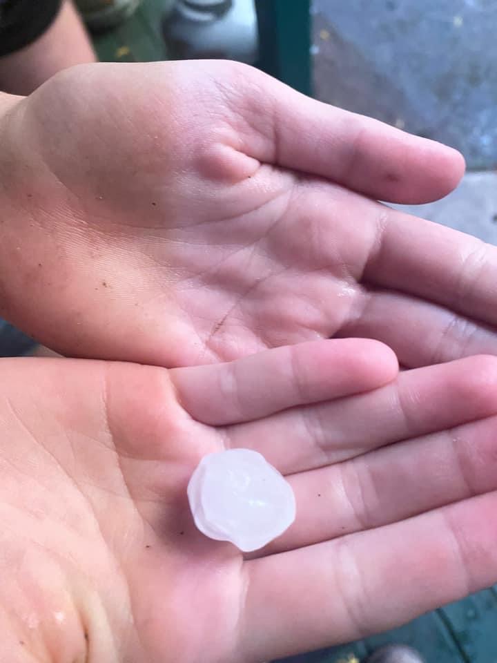
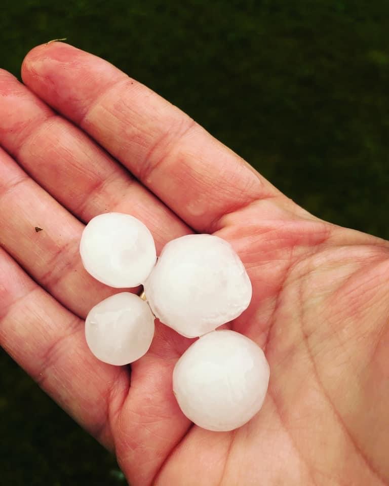
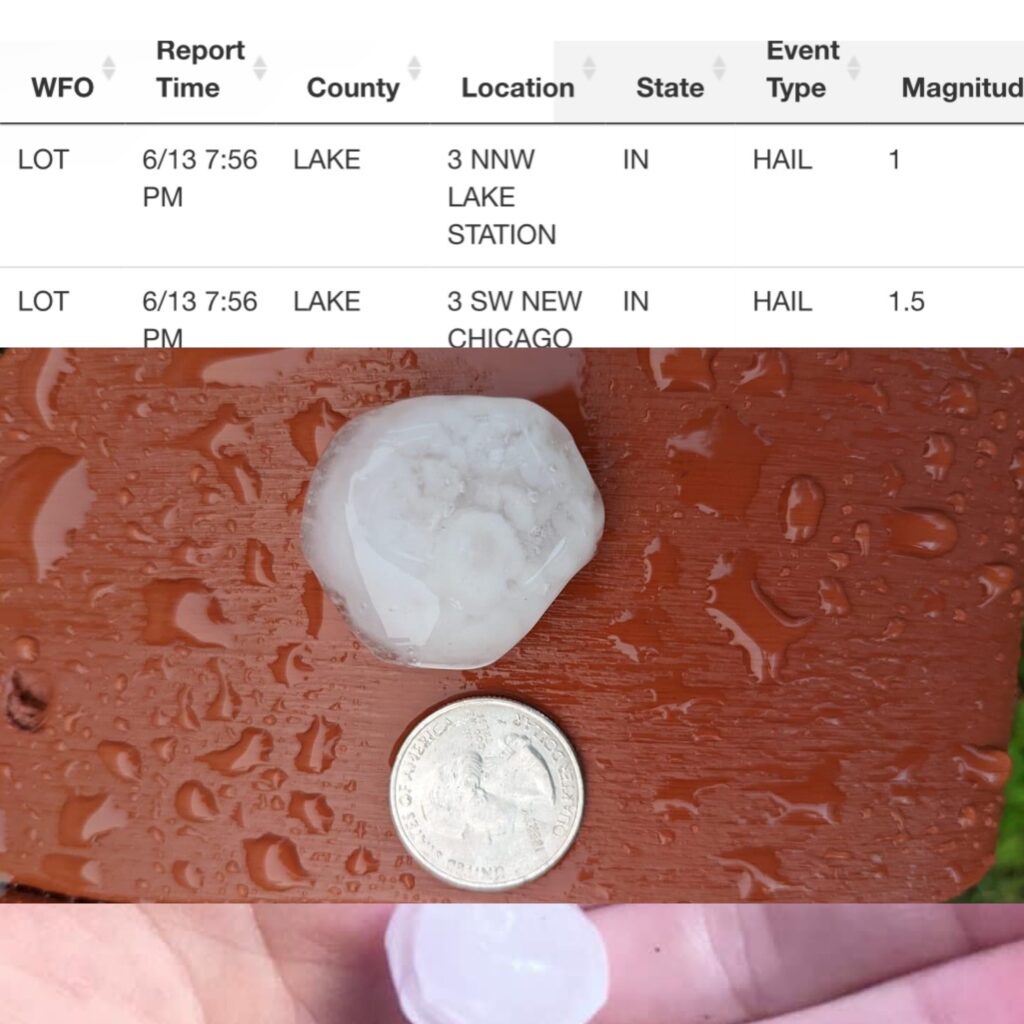
The following pictures below are reports to NWS which show 1 inch hail reported in Lake Station, IN and 1.5 inch in New Chicago, IN. The picture below of hail is from Portage and Lake Station.
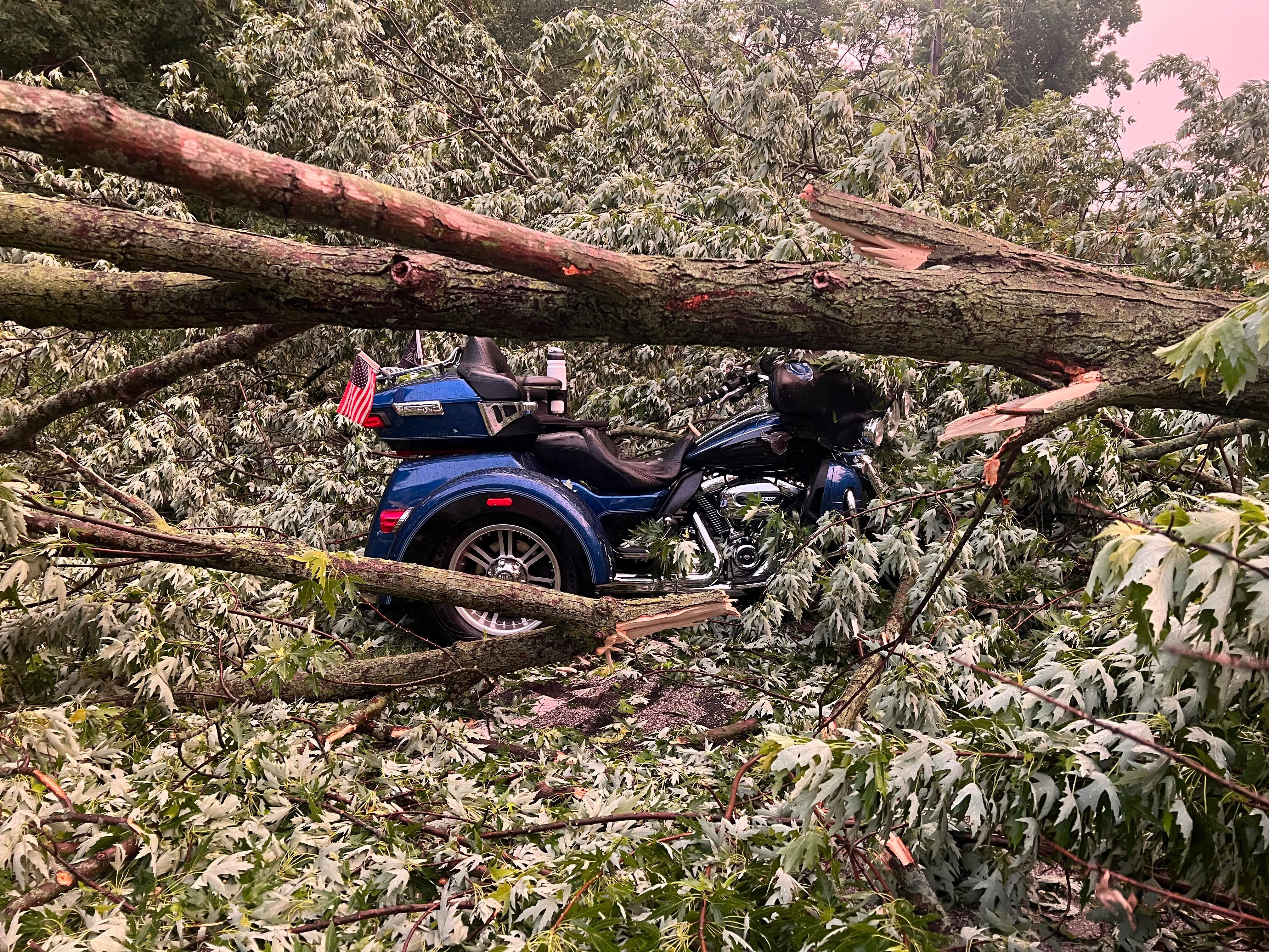
Around 8 PM in Lake Station a motorcycle driver and passenger escaped serious injury when a large tree fell across Liverpool as they were riding. The witness on scene reported no injuries to either luckily.