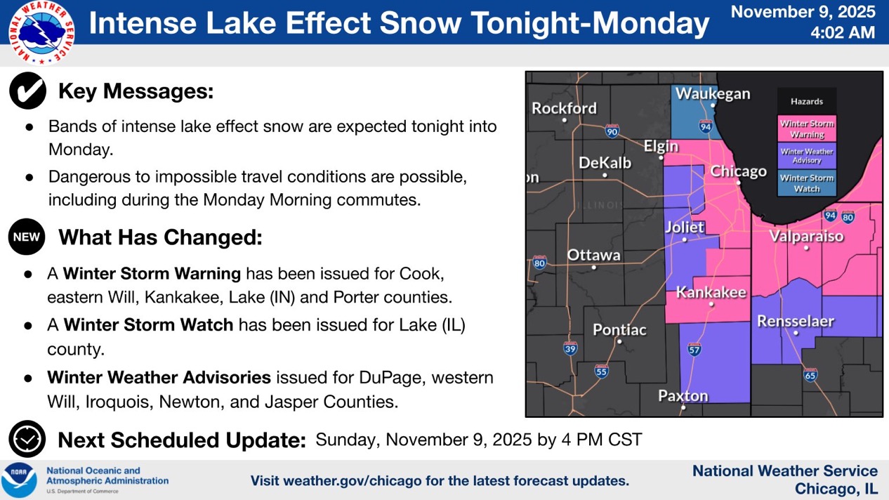
WINTER STORM WARNING: LAKE EFFECT SNOW TONIGHT & MONDAY
An intense lake effect snow event is set to impact northeastern Illinois and northwestern Indiana beginning late tonight through Monday.
Key Details:
✔ Timing: Snow develops between 9 PM and 12 AM along the Lake Michigan shoreline before rapidly pushing inland.
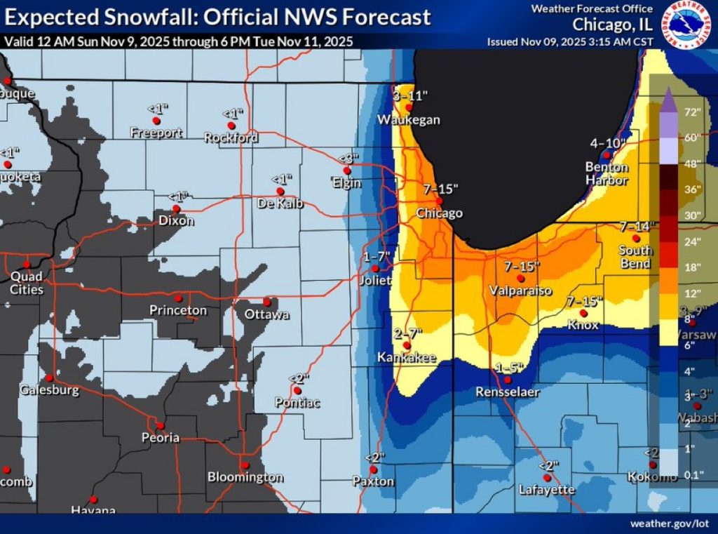
✔ Coverage: The heaviest snow will hit near the lake but could stretch as far west as I-39 in IL and as far south as IL-9 during the initial burst.
✔ Snow Rates: Under the strongest bands, snow could fall over 3 inches per hour, creating whiteout conditions and impossible travel at times. Areas just a few miles away may see little to no snow.
✔ Shift East: Snow bands will move from the I-55/I-57 corridor Monday morning to northwest Indiana Monday afternoon, including areas near Hammond, Gary, and Michigan City.
⚠️ Travel Impact:
If you live or plan to travel near Lake Michigan tonight or tomorrow, avoid unnecessary travel. Conditions will deteriorate rapidly and visibility may drop to near zero.
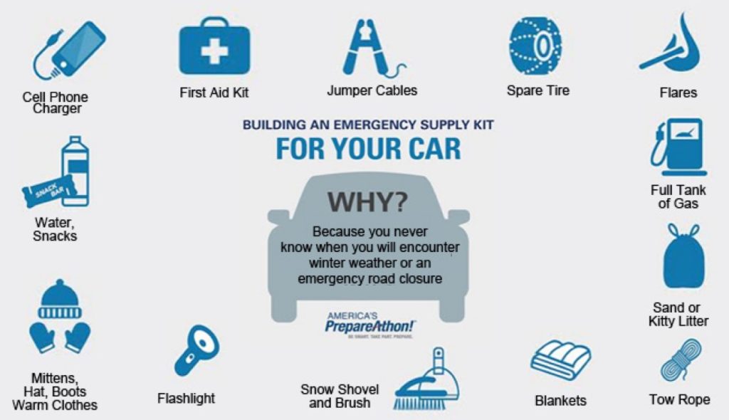
If you must travel, carry a winter survival kit — including blankets, food, water, and a fully charged phone — as being stranded for hours is a real possibility.